Category talk:UMLACA
Bump!
Can we get rid of this obnoxious term UMLACA? Even he who must be publicised has started using Volcano. UMLACA should be relegated to a historical footnote.
Actually even Volcano is not particularly accurate. I like the US intelligence term improvised 122mm rocket. Perhaps a compromise to Volcano-122(CW), and Volcano-122(HE) as compared to the larger Volcano-220 and the smaller Volcano-107? --Charles Wood (talk) 08:30, 18 December 2013 (UTC)
Possible location match
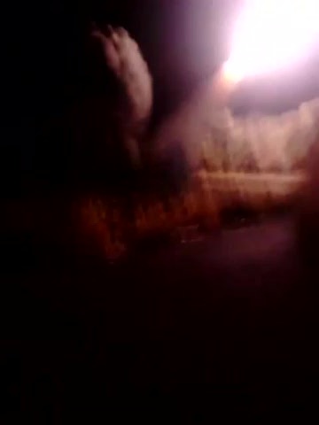
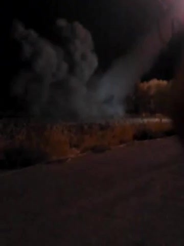
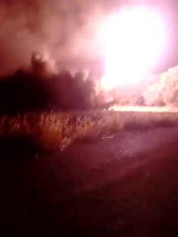
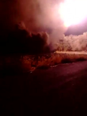
So far I have dismissed the UMLACA launch videos. They seem to be somewhere outside Damascus, in the "Ghouta" with open spaces, orchards and trees. One thing sticks out though: the first video seems to show the pole of a street light.
sasa wawa has now published his estimate on the launch site:
- Mapping the Source of the Attack – Sep 25, 2013
The place is in the cloverleaf intersection between Jobar and Qaboun.
I looked on Google Earth. I can now point out a possible launch site that matches the videos. I am able to pinpoint two roads and one small tree. The rockets are aimed in the right direction. Video shows other trees in background, map shows some, maybe not as many.
This is not yet a location match by our standards. but as everything else fits, it is starting to look like this is the smoking gun. -- Petri Krohn (talk) 23:18, 25 September 2013 (UTC)
- I try to find the spot you are talking about "two roads and one small tree". But it's hard (as well because the satelite images are from August 2012. Could you provide a picture of the spot? Baldur (talk) 02:01, 17 December 2013 (UTC)
- Launch 1
- Launch 2
- Launch 3
What is the piece of debris?
I am trying my luck and searching for anything in the videos that might make it it possible to identify the location. There is very little in the videos that is fixed to any location. One thing sticks out in video #1. On the ground, near the lamp post is a strange metal frame Looks like a foldable camping chair. I was thinking it might be something that has fallen off the lamp post.
I went looking for photos and videos of the intersection. I found this. At 1:09 in the video from Qaboun you see the top part of a larger lamp post fallen half way to the ground. It has a frame of similar tubular construction. This one has eight halogen style floodlights. (compare to this photo) One could imagine that the frame seen on the video could hold four similar floodlights. -- Petri Krohn (talk) 02:57, 26 September 2013 (UTC)
Note the stone lining on the side of the driveway and the lamp post aligned to the side of the road. -- Petri Krohn (talk) 06:11, 26 September 2013 (UTC)
A tree near the lamp post. similar trees have been planted in the intersection. -- Petri Krohn (talk) 14:25, 26 September 2013 (UTC)
- Haytham Hasan Hamzeh has posted a number of photos of the intersection area in its post-2010 form on Panoramio.
- The one that closest matches the lamp post and the tree is this one with a green camel. -- Petri Krohn (talk) 18:49, 26 September 2013 (UTC)
Traces in the sand
Please take notice of the VEHICLE TRACES that are currently visible in our "green field" on Wikimapia. They are in a few of the loops of the intersection and often passing the big street lights very close. http://wikimapia.org/#lang=en&lat=33.542647&lon=36.349039&z=19&m=b Do we know from which time and date the satelite pictures are and when google will change them? Maybe the next change will not show them anymore. Screenshots of Wikimapia showing vehicle traces at possible launch site
- http://s1.directupload.net/file/d/3473/ynou9yqv_jpg.htm
- http://s14.directupload.net/file/d/3473/dr3vq3xh_jpg.htm
- http://s7.directupload.net/file/d/3473/nzv6zkpv_jpg.htm
- http://s7.directupload.net/file/d/3473/xjhyfg9v_jpg.htm
- http://s7.directupload.net/file/d/3473/a6g398oo_jpg.htm
As well as this possible howitzer location. This would indicate howitzer was firing at Qaboun like they say in the video. http://s14.directupload.net/file/d/3473/emkj3aoy_jpg.htm http://wikimapia.org/#lang=en&lat=33.546179&lon=36.353443&z=19&m=b PS: this has been posted to http://whoghouta.blogspot.com/2013/09/mapping-source-of-attack.html?showComment=1387202016335#c2208003822825283092 too. Baldur (talk) 14:08, 16 December 2013 (UTC)
- Hi Baldur and welcome to ACLOS! I checked with Google Earth. The current images on Google Maps/Wikimapia are from September 2, 2012. Using the history function shows that most if not all of the traces have been created between August 19 and August 30, 2012, so they have definitely nothing to do with the events a year later. There have been a couple of image versions in both 2011 and 2012, so the next change should long have happened. --CE (talk) 14:37, 16 December 2013 (UTC)
- I agree, between August 19 and 30, 2012. Google must be censoring the fresh satellite views. -- Petri Krohn (talk) 19:39, 16 December 2013 (UTC)
ANNA News video
Petri, this reminded me of an ANNA News video from July where they bust a tunnel in Qaboon, and it ends under a bridge under the motorway. Back then I located the place with some confidence I can't resemble atm as being here, right beside the Air Force Intelligence Branch. Maybe I messed up the link a bit and it was supposed to show a different specific point in that intersection. The parts which show the view outside both sides of the bridge start at around 7:30 into the video, maybe it's useful here. --CE (talk) 16:44, 26 September 2013 (UTC)
- I guess this underpass is further south on the bypass motorway, somewhere opposite Zamalka. -- Petri Krohn (talk) 17:15, 26 September 2013 (UTC)
- No, as they say after 8min, Zamalka is to the very right of the view (hence south), Erbin somewhere in between (facing) and Harasta to the very left (north). --CE (talk) 17:20, 26 September 2013 (UTC)
- The captions say "tunnel to Arbin from al-Kabun". The underpass does not match my road. I cannot find the power line. Besides, The tunnel seems kind of left-handed, going from east to west, not north-south as my tunnel. -- Petri Krohn (talk) 18:26, 26 September 2013 (UTC)
- No, as they say after 8min, Zamalka is to the very right of the view (hence south), Erbin somewhere in between (facing) and Harasta to the very left (north). --CE (talk) 17:20, 26 September 2013 (UTC)
Here is another ANNA video from July 14, 2013. At the very start of the video we see a telephoto view of the intersection. The trees are very similar to the trees on the Liwa al-Islam video. -- Petri Krohn (talk) 02:27, 14 December 2013 (UTC)
This topic will hot-up shortly as a certain "Prominent English Blogger" Eye of Moson has postulated yet another potential launch location in the area around the M3/M5 intersection and the immediate South. (There's nothing like shot-gunning the whole of Ghouta with guesses - at least one of them will be right!)
It will be very helpful indeed if the telephoto view can be geolocated as it features in other videos. Personally I think it's most likely a view Eastwards along 6th Tishreen - but the match is poor. However it's a better match than any other one where the Highway North veers left and there is a turn towards the Southern bypass to the right. That would put the Intelligence compound just out of sight on the right. --Charles Wood (talk) 04:46, 18 December 2013 (UTC)
- Edit: I see a comment from Petri on whoghouta about his idea of the video location - pretty much the same as mine. The difficulty I see is the range is a bit on the high end and there are other parts of the intersection that will have similar micro-topology and landscaping and will also be closer to the 2000m range - try around 33°32'24.86" N 36°21'03.31" E (NB - The underpass on the fly road appears to be subject to insurgent mortar fire on a regular basis, e.g. Artillery Battalion of the Mujahideen Brigade Gota Bsthdav the barrier on the Southern Highway 08/12/2013 --Charles Wood (talk) 08:15, 18 December 2013 (UTC)
- The spot is at 2000 meters range to the alleged targets in Jobar and Qaboun. If it was the same launcher that targeted Zamalka they could have just driven 500 meters down the Southern Bypass to get within range. Besides, with artillery it is useful to swap places every now and then. Better changes of avoiding incoming shells. -- Petri Krohn (talk) 09:16, 18 December 2013 (UTC)
- Jobar and Qaboun both start within 400 metres of the launch point. Someone should come up with an actual target in each of these locations rather than the nominal centre of the suburbs. The potential range is minimum 400m (actually probably less) up to a couple of thousand metres - maybe more. Given the design of the Volcano-122(CW) it probably has a minimum range of 1500m and potentially (sorry everyone) 2500-3000m maximum range - the latter is because we don't actually know the flight characteristics of the CW variant other than it is smaller and lighter than the HE variant and has a different motor that burns for half the time. --Charles Wood (talk) 10:25, 18 December 2013 (UTC)
- Here is a telephoto view of the "Turkey – Iraq – Homs" road sign from a member of the ANNA News team. -- Petri Krohn (talk) 15:33, 18 December 2013 (UTC)
