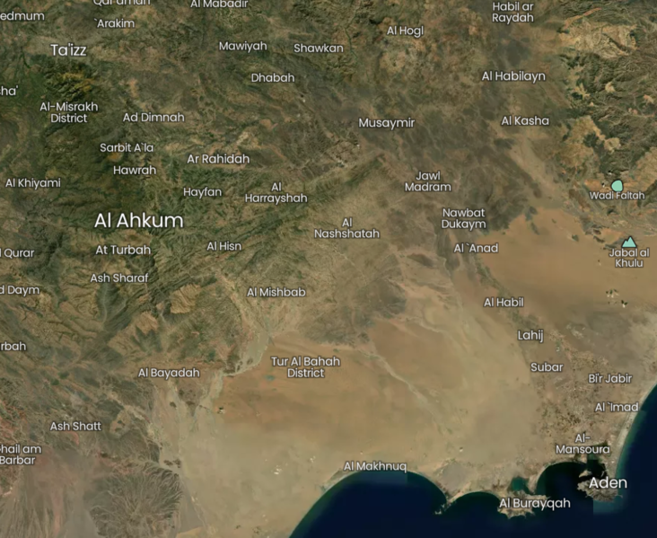
File:Taiz Aden Al Ahkum12.png
Jump to navigation
Jump to search


Size of this preview: 732 × 599 pixels. Other resolutions: 293 × 240 pixels | 917 × 751 pixels.
Original file (917 × 751 pixels, file size: 1.12 MB, MIME type: image/png)
Summary
Source: https://mapcarta.com/28946206
See also
- Tawr al Bahah on Zoom earth https://zoom.earth/#view=13.16825,44.332044,12z
Inferred direction (Bellingcat)
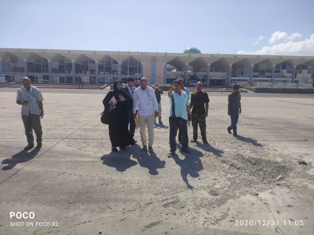
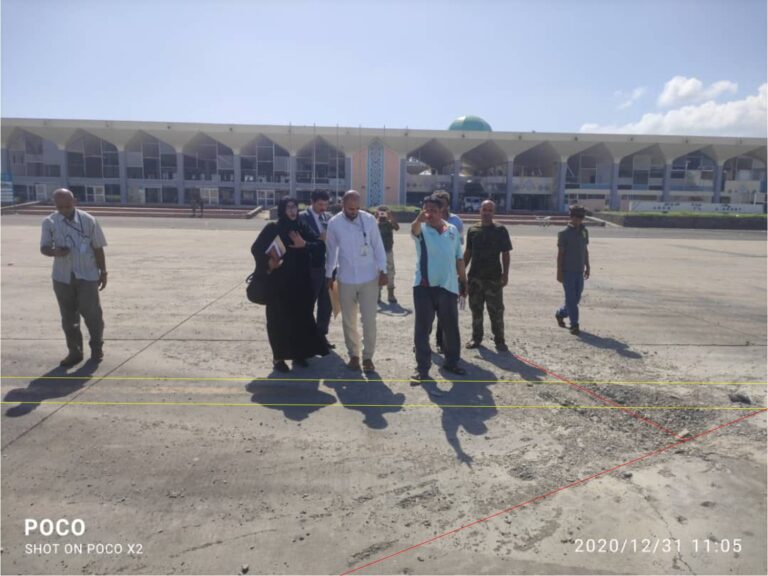
The terminal building faces to the N/NNW. The impact came from the NW but the photo analysis cannot provide such a narrow vector as Bellingcat indicate. A trajectory from eg Al-Ahukm is not precluded. --Diagonal (talk) 14:12, 28 June 2023 (UTC)


File history
Click on a date/time to view the file as it appeared at that time.
| Date/Time | Thumbnail | Dimensions | User | Comment | |
|---|---|---|---|---|---|
| current | 11:17, 15 August 2022 |  | 917 × 751 (1.12 MB) | Diagonal (talk | contribs) | Source: https://mapcarta.com/28946206 |
You cannot overwrite this file.
File usage
The following page uses this file:
