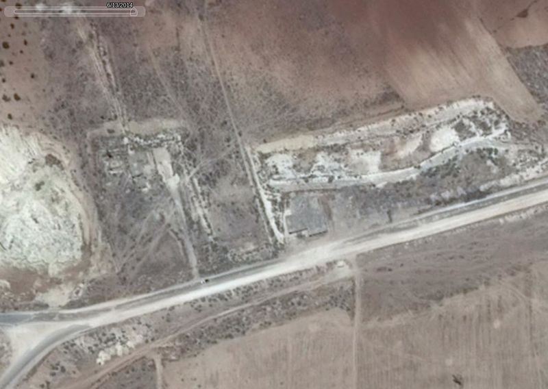
File:Whora Hora in 2014.jpg
Jump to navigation
Jump to search


Size of this preview: 800 × 568 pixels. Other resolutions: 320 × 227 pixels | 1,141 × 810 pixels.
Original file (1,141 × 810 pixels, file size: 94 KB, MIME type: image/jpeg)
File history
Click on a date/time to view the file as it appeared at that time.
| Date/Time | Thumbnail | Dimensions | User | Comment | |
|---|---|---|---|---|---|
| current | 20:26, 6 April 2017 |  | 1,141 × 810 (94 KB) | Petri Krohn (talk | contribs) | ;Source * Google Earth ;Location * 2 km east of Khan Sheikhoun, 1 km east from M5 road * [https://www.google.com/maps/place/35%C2%B026'29.1%22N+36%C2%B040'16.0%22E/@35.4409228,36.6687352,972m/data=!3m1!1e3!4m5!3m4!1s0x0:0x0!8m2!3d35.441414!4d36.671107... |
You cannot overwrite this file.
File usage
The following 2 pages use this file: