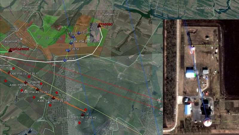
File:Baturinskaya Radar Station.jpeg

Original file (2,053 × 1,162 pixels, file size: 334 KB, MIME type: image/jpeg)
Note that primary radar view on crash area is obstructed.
Source: graphics: Baturinskaya Radar Station.
Location: Google maps , 45°50'16"N 39°27'37"E . Directions to Rossypnoe. Google distance gives 263.85 km away.
At 263.85 km distance, direct visibility horizon is at (or above) 5.47 km. (And also obstruction from secondary radar and clouds...)
As received signal scales as 1/d^4 with distance (1/d^2 for target illumination and another 1/d^2 receiving back), radar at Baturinskaya received back signal power will be 17% of the one at Ust' Donetsk, 171 km away from the crash.
File history
Click on a date/time to view the file as it appeared at that time.
| Date/Time | Thumbnail | Dimensions | User | Comment | |
|---|---|---|---|---|---|
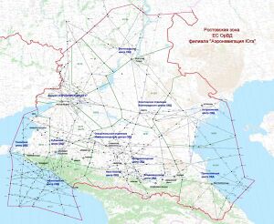
| current | 10:20, 8 October 2016 |  | 2,053 × 1,162 (334 KB) | Resup (talk | contribs) | Note that primary radar view on crash area is obstructed. Source: :[http://sd.uploads.ru/gysko.jpg Baturinskaya Radar Station]. thumb|right| Rostov Zone of Unified Air Traffic control Category:MH17 Category:Russia C... |
You cannot overwrite this file.
File usage
The following page uses this file:
